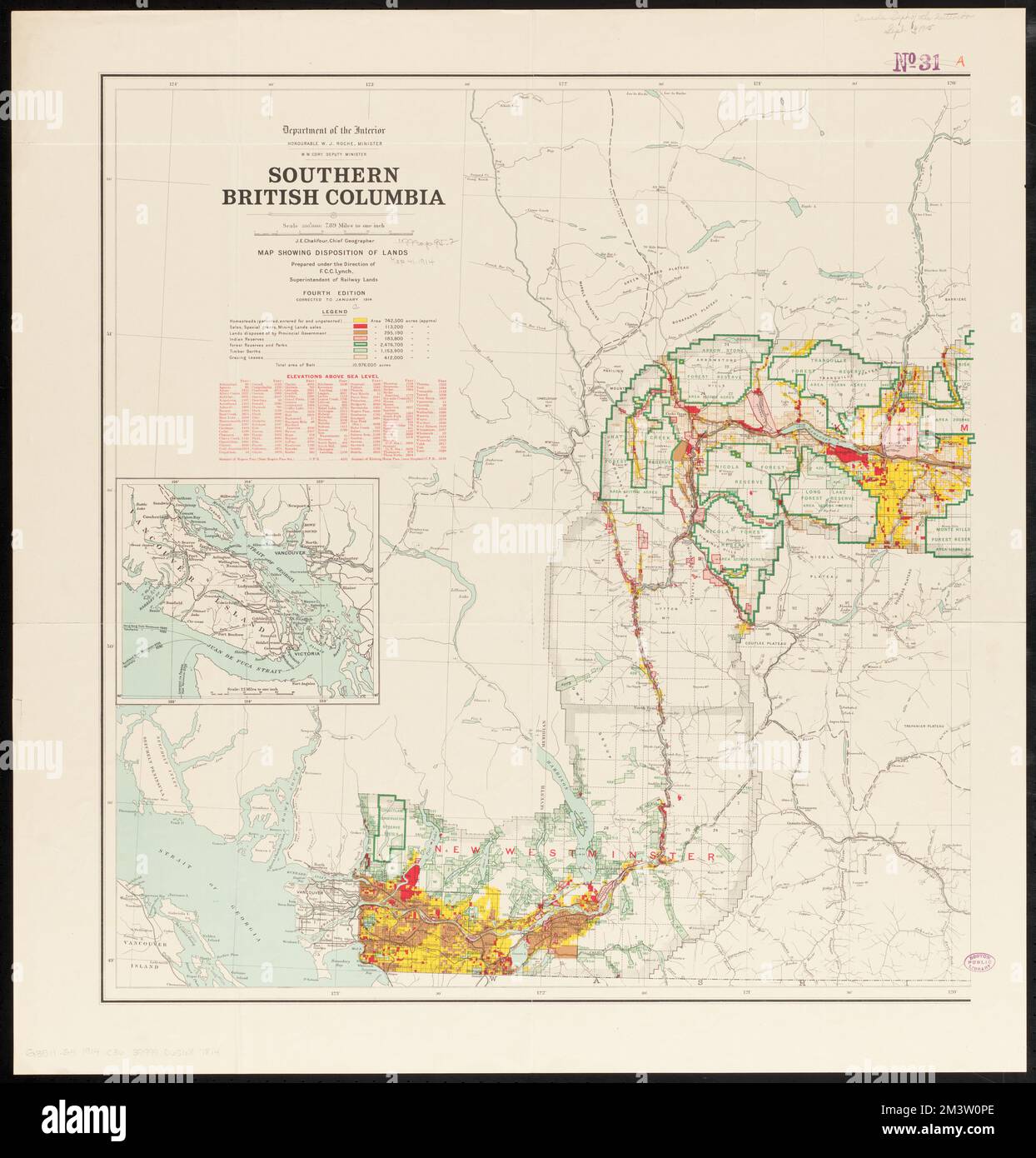
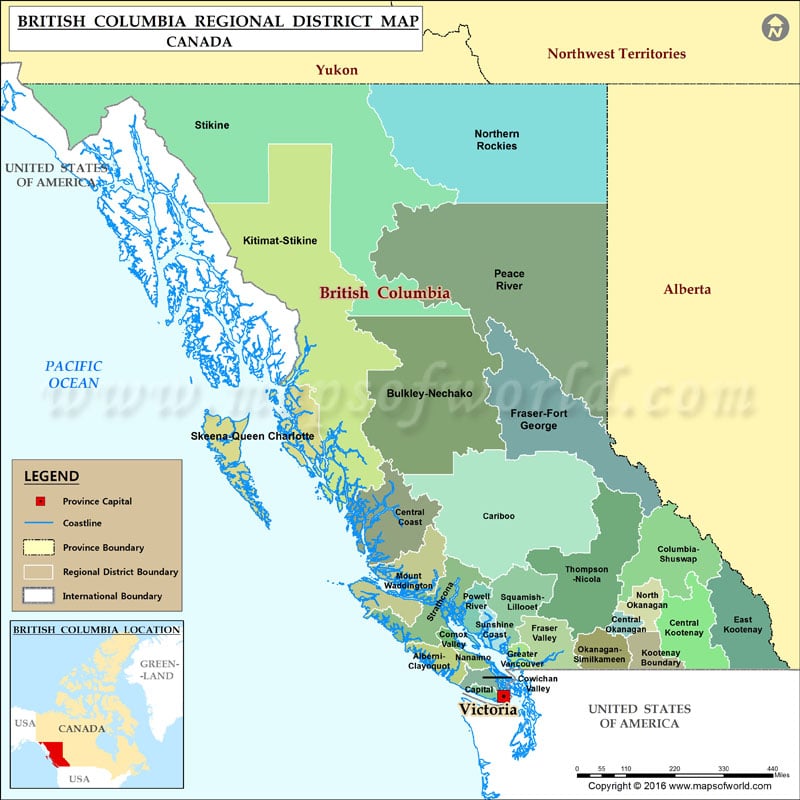
This is a list of land districts of British Columbia, Canada. Land districts are the cadastral system underlying land titles in the province, and used by the provincial gazetteer in descriptions of landforms, administrative areas, and other information. Those on Vancouver Island were established via a Lands Act of the government of the Colony of Vancouver Island, from 1843 onwards; those on the Mainland were established by the Lands Act of 1860 by the Colony of British Columbia.
List
See also
- Land districts of Western Australia
Notes
To see land district boundaries online, consult the province's Online Cadastre System. Land district boundaries can also be viewed in OpenStreetMap.
References
External links
- Land Districts of British Columbia